
Land To Let Holywell
PROPERTY ID: 136123
PROPERTY TYPE
Land
STATUS
Available
SIZE
1.16 ACRES
Property Details
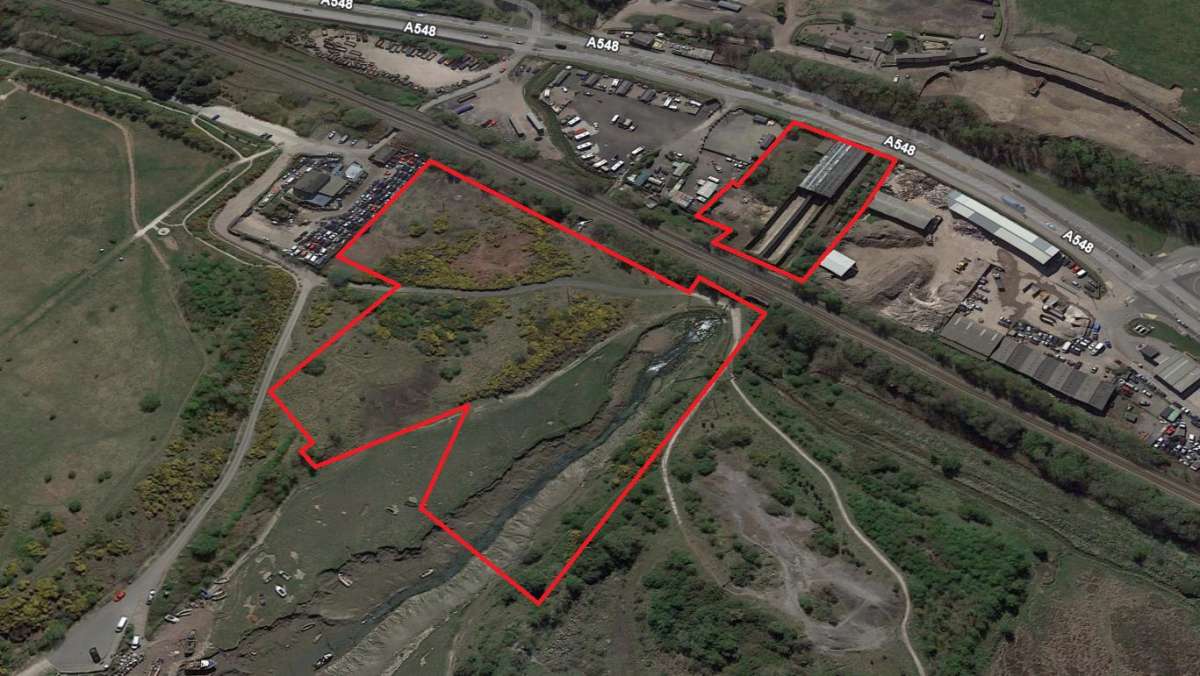
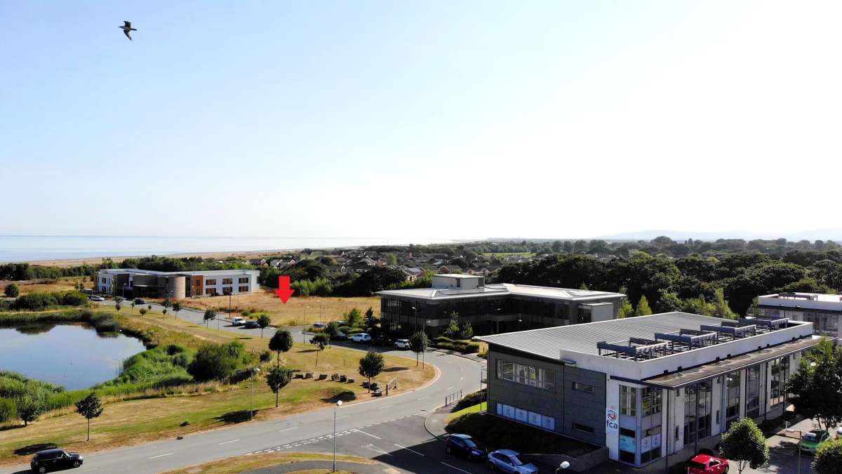
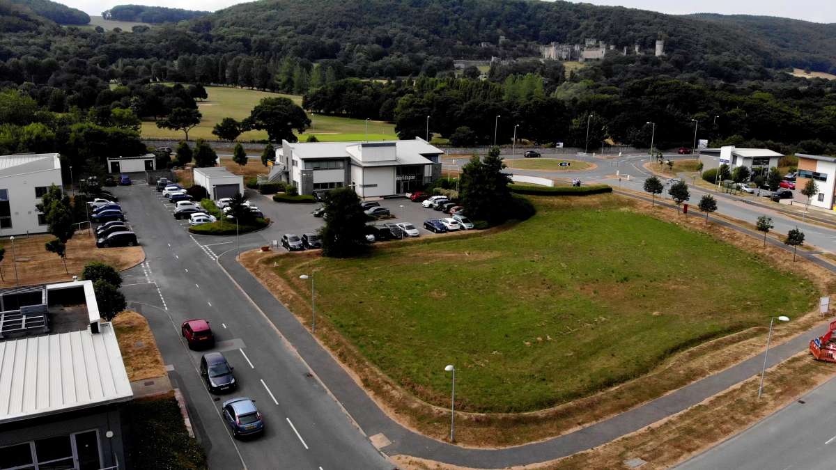
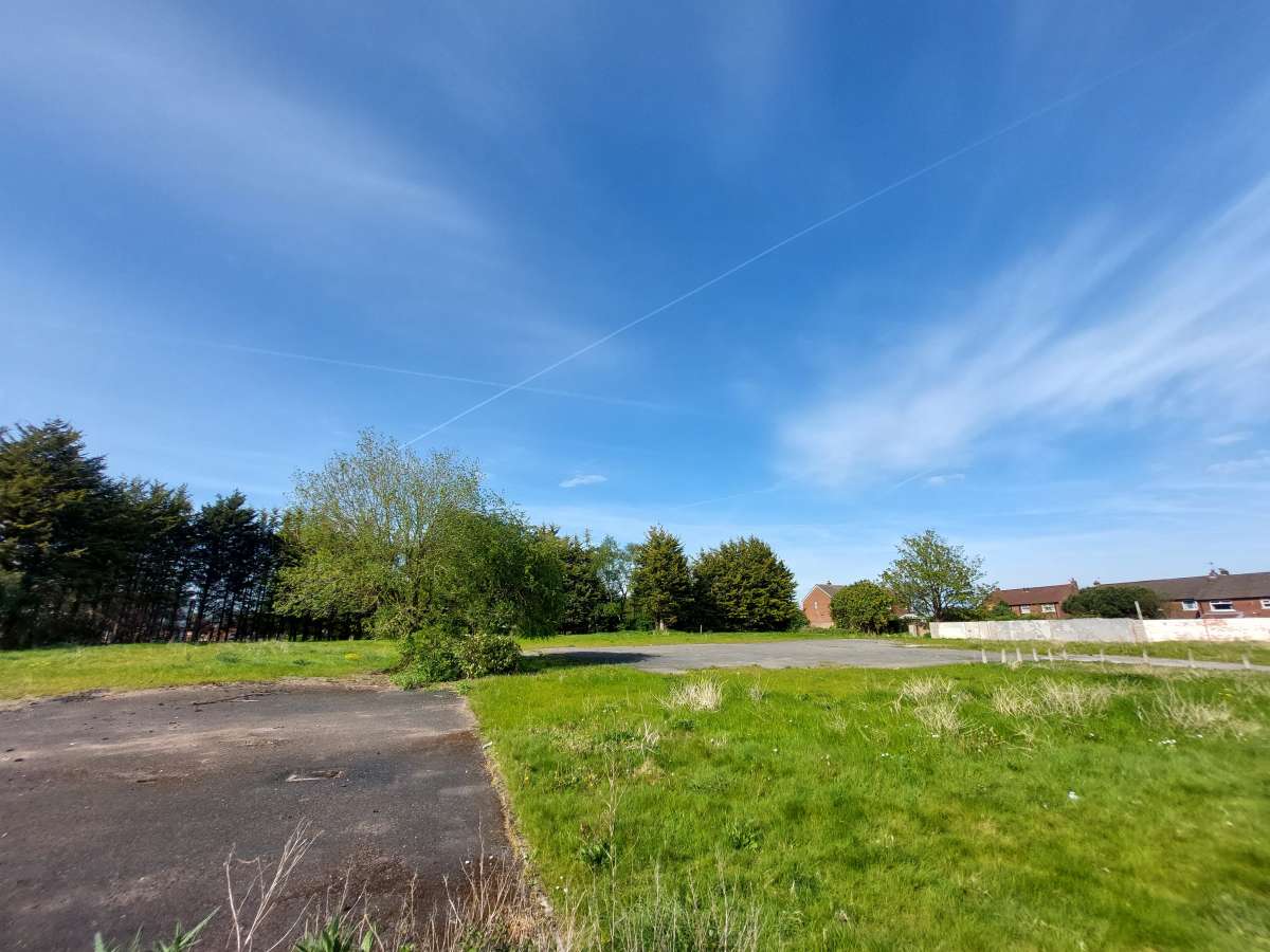
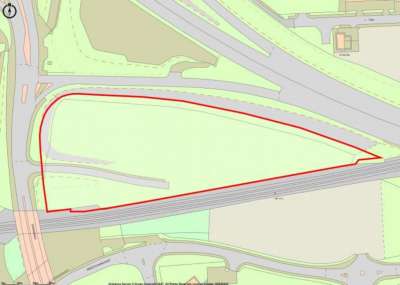
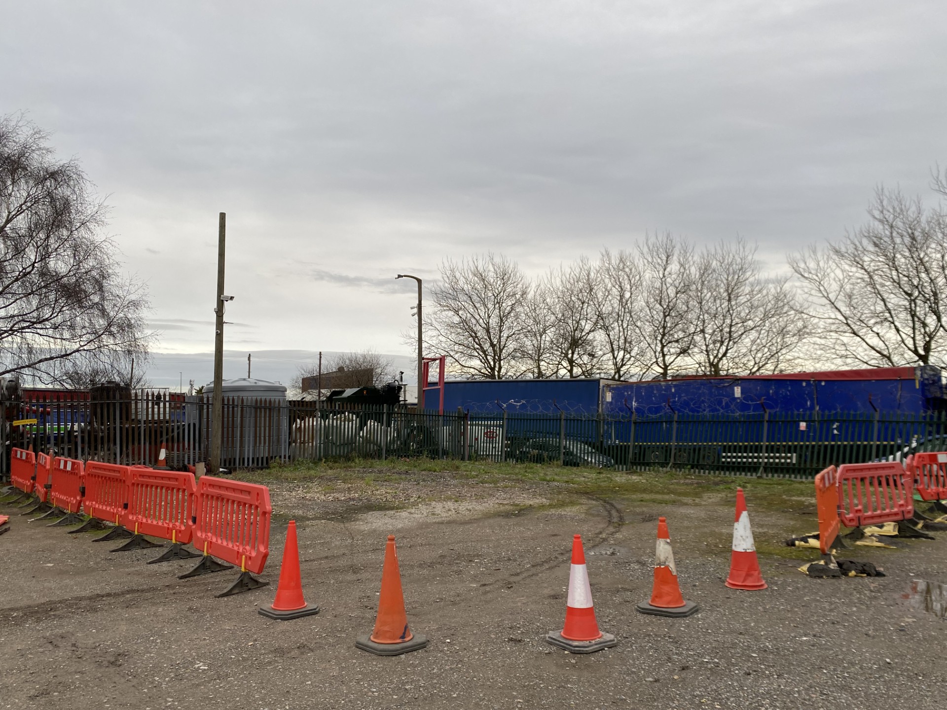
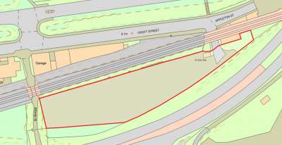
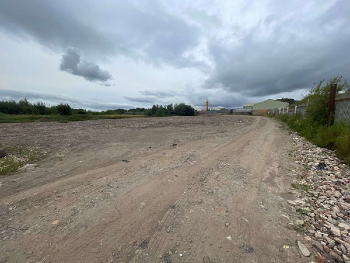
The Milwr Tunnel, Was Constructed Between 1897 And 1957 To Drain Lead Mines (which Are Now Disused) Between Holywell And Mold In Flintshire, North Wales. The Tunnel Is Approximately 10 Miles (16 Km) Long And Discharges Water Into The Dee Estuary. The Vendor Is Responsible For Maintaining Water Flow In The Tunnel And Have A Right To Abstract Water From The Tunnel, Which Is Potentially Suitable For A Variety Of Industrial Purposes. The Tunnel Trends From Near The High-water Level At Bagillt Flintshire, On The South Bank Of The Dee Estuary, To Loggerheads Near Mold. From Bagillt The Tunnel Was Driven At A Gradient Of 1:1000 In A South Westerly Direction For Approximately 2.6km To Herward Shaft, Near Dolphin. From Herward Shaft, The Tunnel Trends Southwards Beneath Halkyn Mountain Towards Rhydymwyn. The Site Consists Of Two Principle Separate Plots, The First Of Circa 4.54 Acres Open Land, The Second Of Circa 1.16 Acres Open Land With Pumping Station. The Holding Also Includes Mineshaft Access Land At Three Nearby Locations. Parcel 1 - 4.54 Ac (1.84 Ha) Parcel 2 - 1.16 Ac (0.47 Ha) Open Land Various Uses Considered (subject To Planning) Non Potable Water Flows: The Water Flow In The Tunnel Varies Seasonally And Has An Average Of 1.03 M3/s Of Flow Recorded With A Maximum Value Of 5.34m3/s. Water Quality: The Water Originates From Beneath The Halkyn Mountain And Is Generally: High In Aluminium, Iron, Lead And Zinc Moderately High In Copper, Solids And Turbidity Low In Colour Low In Mercury
About the Agent

Fisher German LLP- Manchester
See Agent's Other PropertiesLand
POA
Land & Buildings At Milwr Tunnel, Holywell, CH6 6HJ
Land -
Available
1.16 ACRES
Enquiry Form
Similar to this property

POA
Wirral, CH62 7HR
Land

£6000000 Freehold
Birkenhead, CH62 4LN
Land

£1800000 Freehold
Liverpool, L11 9AP
Land
POA
Aberegele, LL22 8LJ
Land
POA
Aberegele, LL22 8LJ
Land
POA
Widnes, WA8 8PR
Land

POA
Widnes, WA8 0NE
Land
£700 / month
knowsley, L33 7SW
Land
POA
Widnes, WA8 0NQ
Land

£8333 / month
Widnes, WA8 0SJ
Land

POA
Tarporley, CW6 0EG
Land
Starting From £167 / month
Tarporley, CW6 0EG
Land

£740000 Freehold
St Helens, WA9 1AW
Land
POA
St Helens, WA11 8LS
Land

POA
Leyland, PR25 3GR
Land